Al4Flood: Artificial Intelligence (AI) for Near-Real Time Satellite-based Flood Response
| Team: | S. Garg, M. Haghshenas Haghighi, M. Motagh |
| Year: | 2020 |
| Funding: | Helmholtz Artificial Intelligence Cooperation Unit |
| Is Finished: | yes |
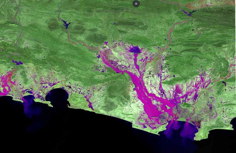
The main goal of this project is to improve existing satellite-based emergency mapping methods based on Synthetic Aperture Radar (SAR) data by training, testing and validating novel machine learning algorithms that incorporate information from amplitude and coherence of SAR data together with polarimetric decomposition for the semantic segmentation of water bodies in case of flood situations.
Partner institutes:
- Deutsches Zentrum für Luft- und Raumfahrt e.V. (DLR)
- Deutsches Fernerkundungsdatenzentrum, Georisiken und zivile Sicherheit


