SAR4Infra: Monitoring Traffic infrastructure using InSAR
| Team: | A. Piter, M. Haghshenas Haghighi, M. Motagh |
| Year: | 2020 |
| Duration: | Since 2020 |
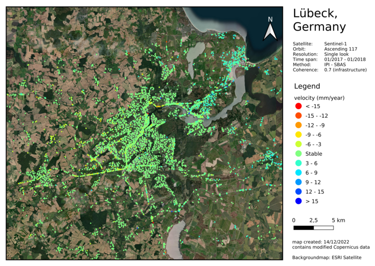
As part of the SAR4Infra research project, damage monitoring of transport infrastructures is being expanded to include wide-area observation of ground movements using Interferometric Synthetic Aparture Radar (InSAR). For this purpose, a radar interferometric process chain is being developed and operationalised in collaboration with the FERN.Lab group of the German Research Centre for Geosciences and deployed on the cloud environment CODE-DE. Computing servers of CODE-DE hold the imagery of the Sentinel-1 radar satellite and are intended for use by the German authorities.
The radar interferometric process chain, which was specifically developed for monitoring transport infrastructure with its efficient filtering and phase unwrapping approaches, complements existing German and European ground movement services. The methodology is made available in a dedicated open-source software developed at the institute. The automatic calculation of displacement maps and the detection of hazards shall support the authorities in Schleswig-Holstein in decision-making.
Partner institutes:
- Helmholtz-Zentrum Potsdam Deutsches GeoForschungsZentrum GFZ
- Landesamt für Vermessung und Geoinformation Schleswig-Holstein
- Landesbetrieb Straßenbau und Verkehr Schleswig-Holstein


